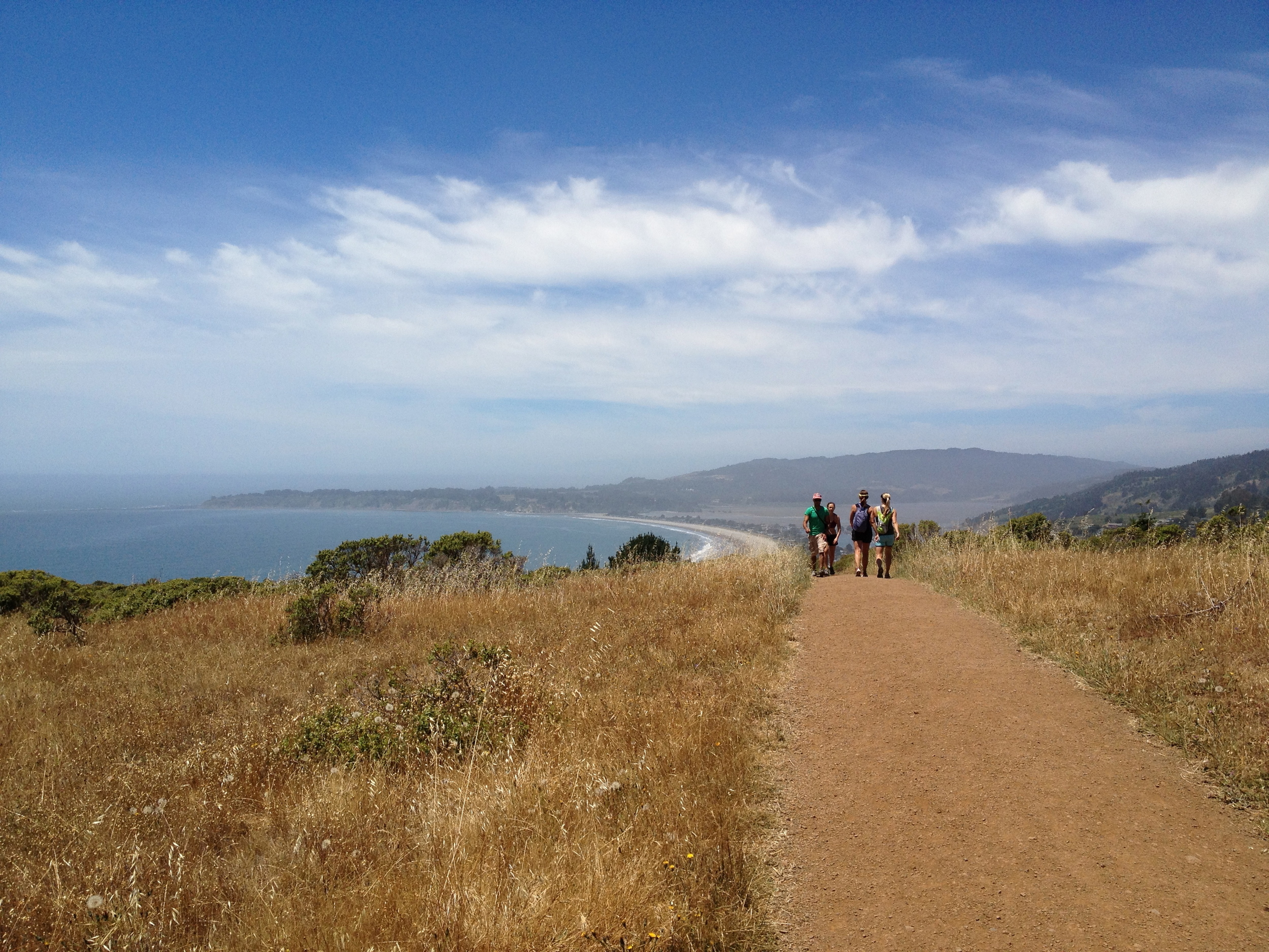

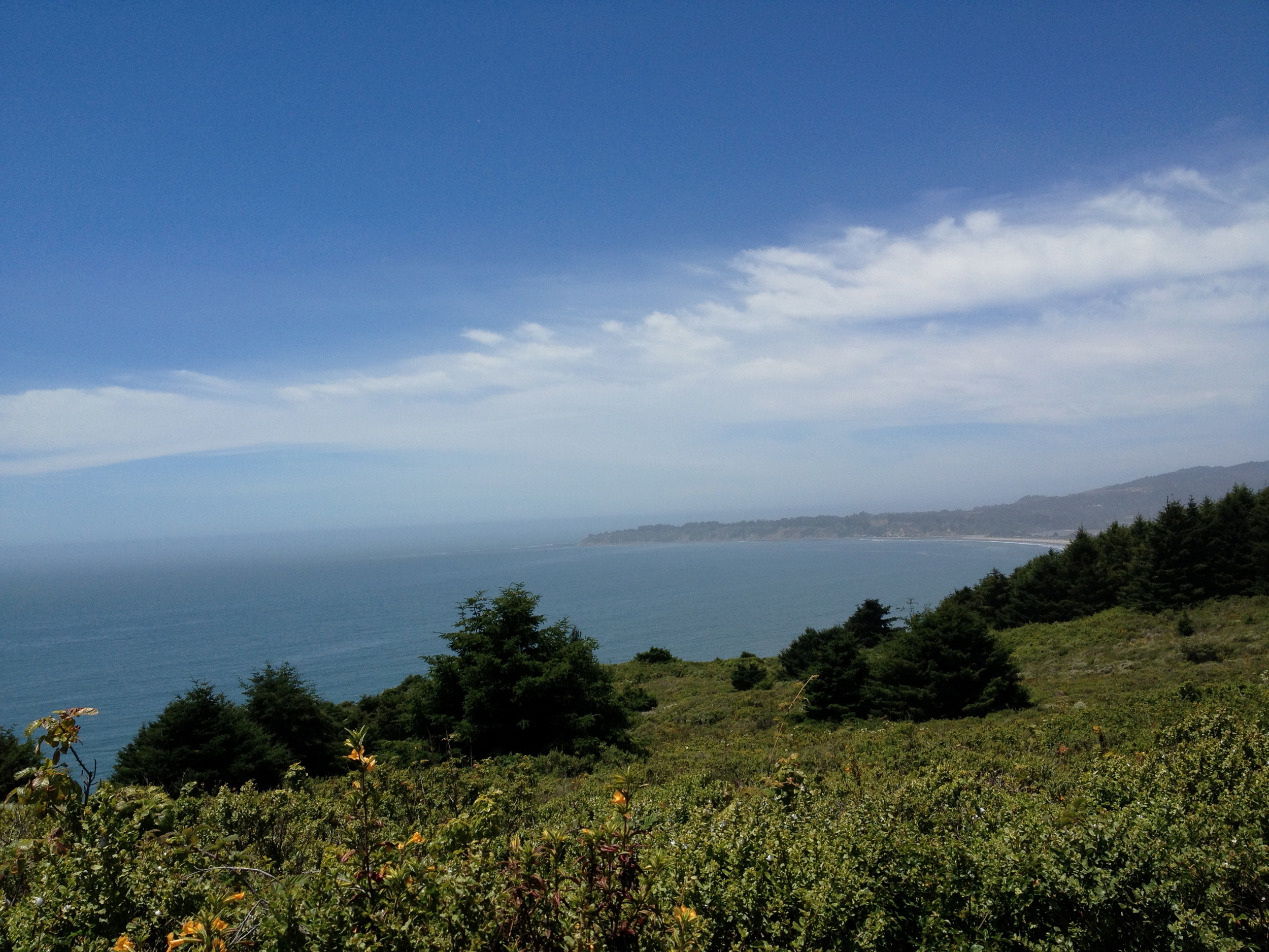
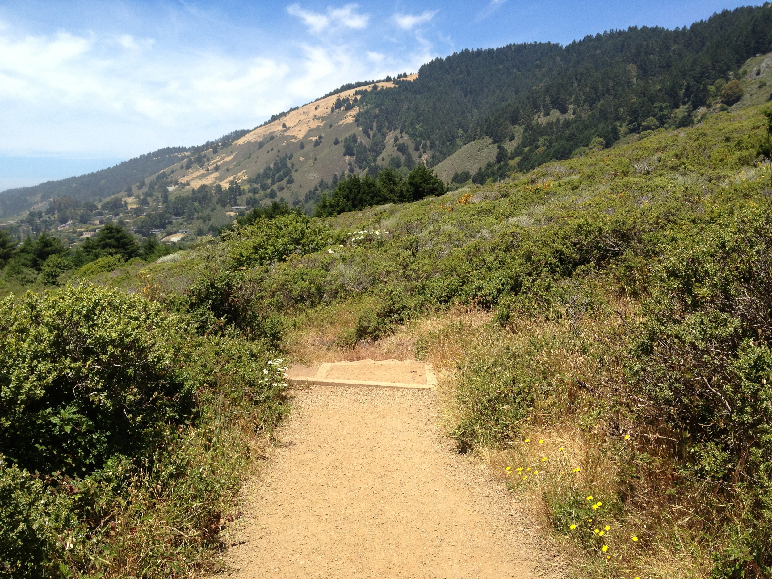
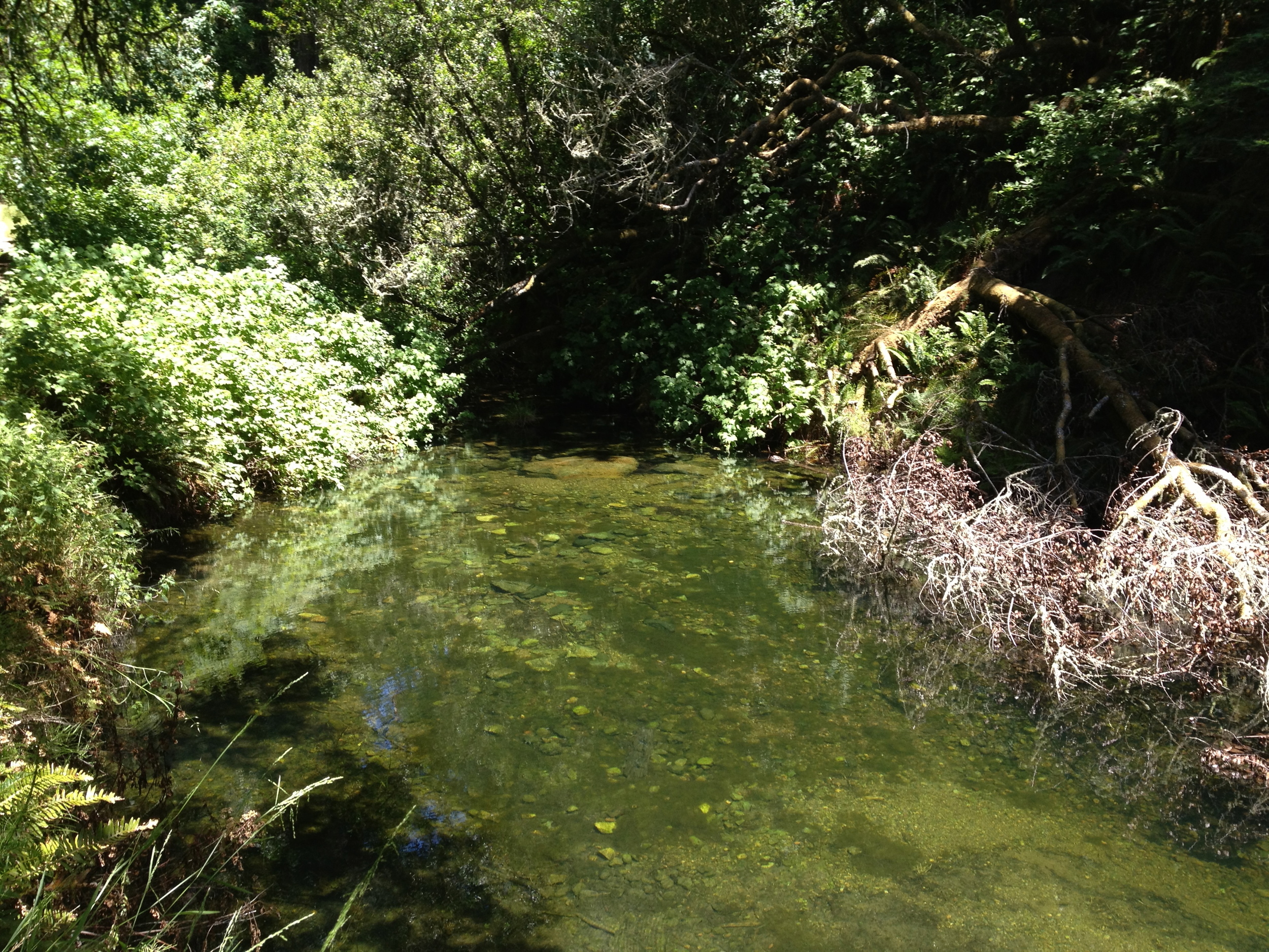
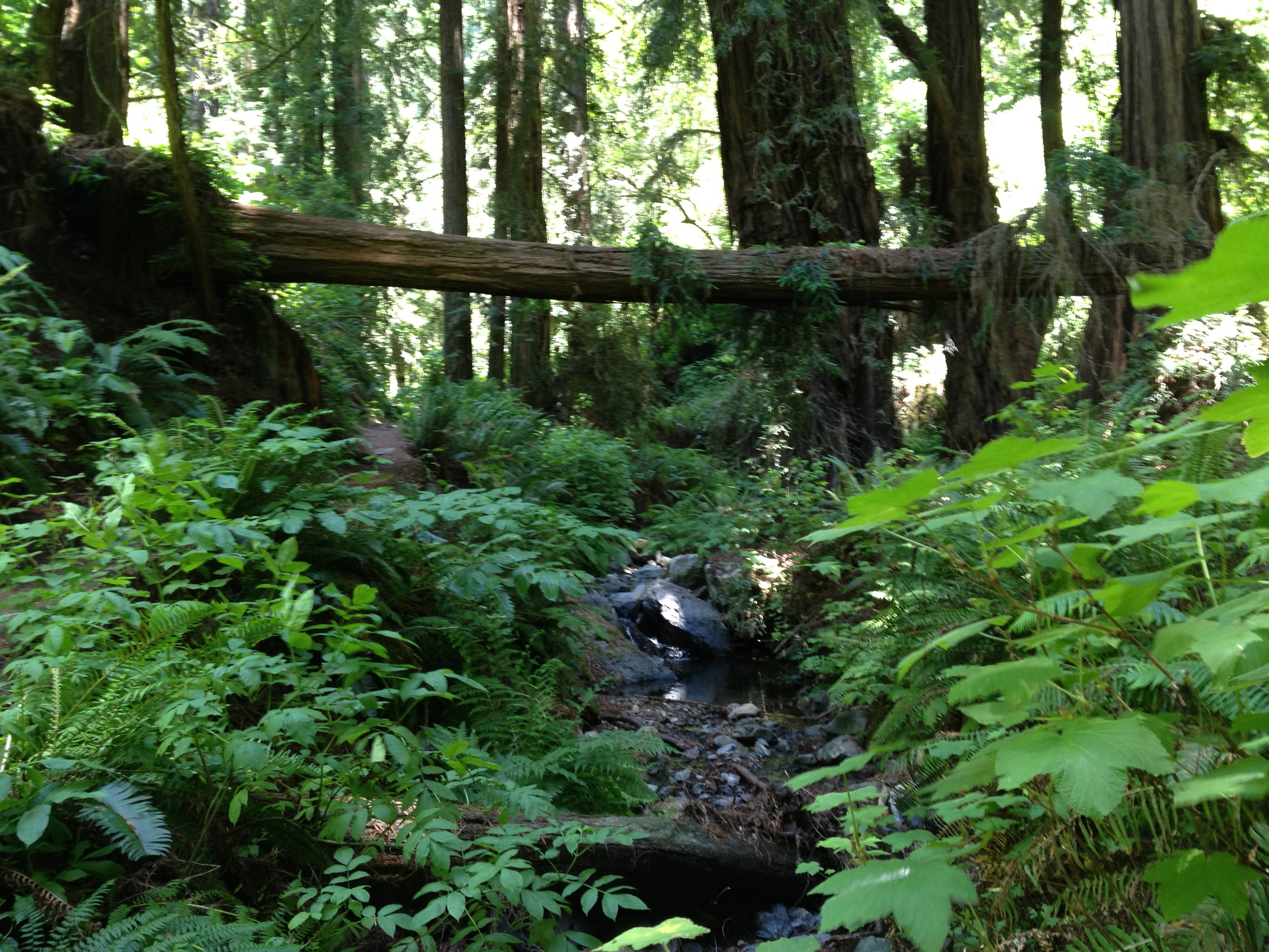
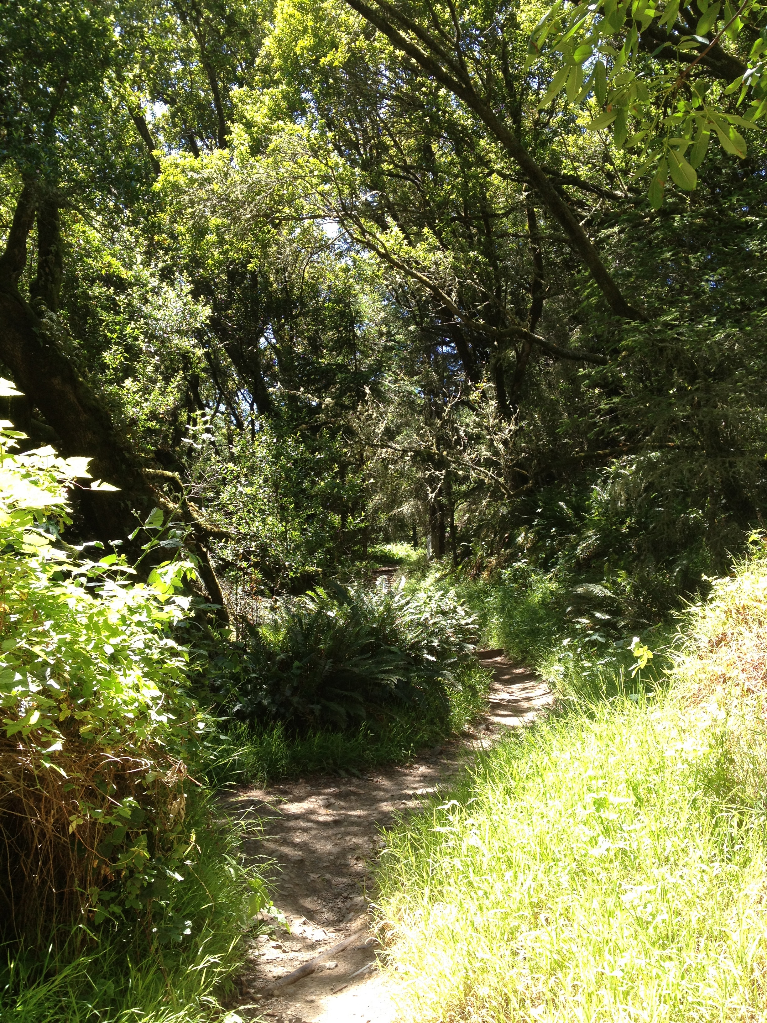
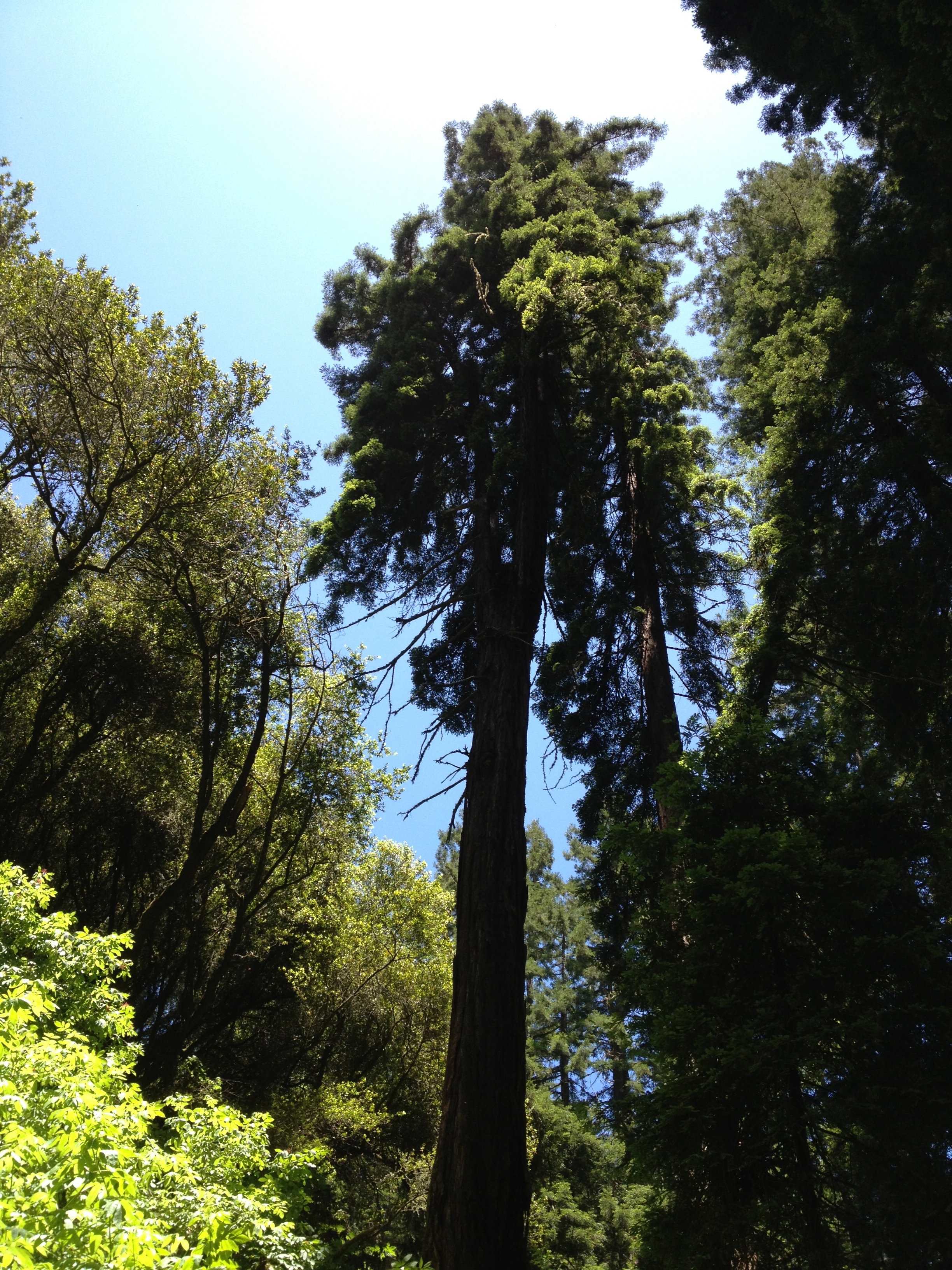
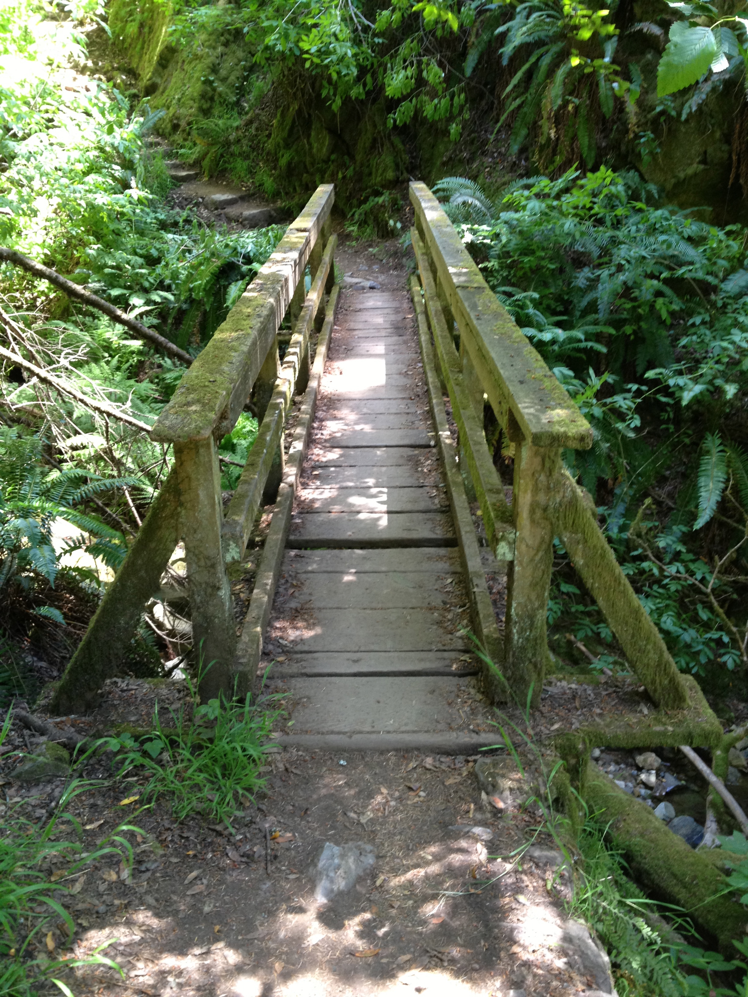
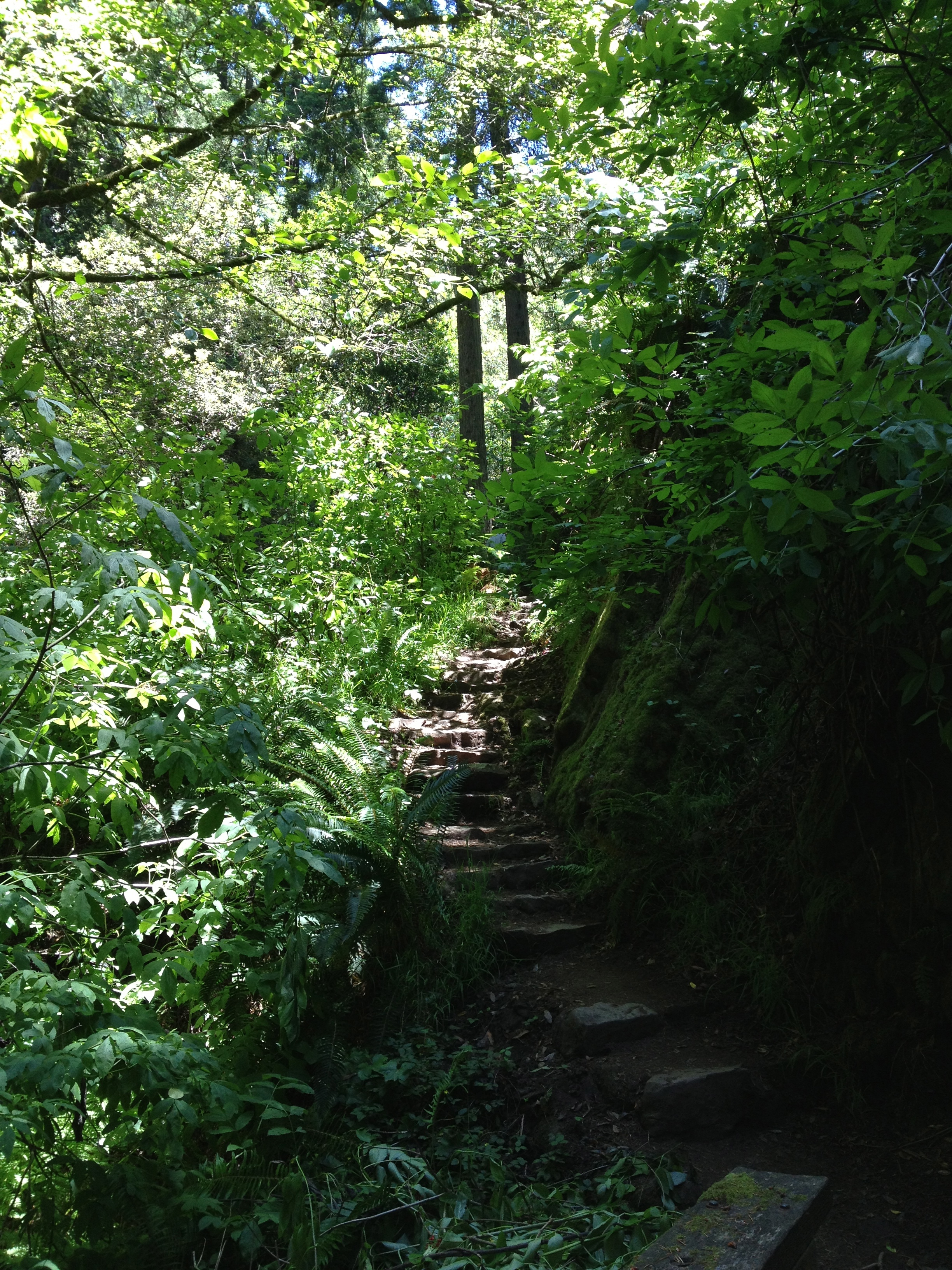
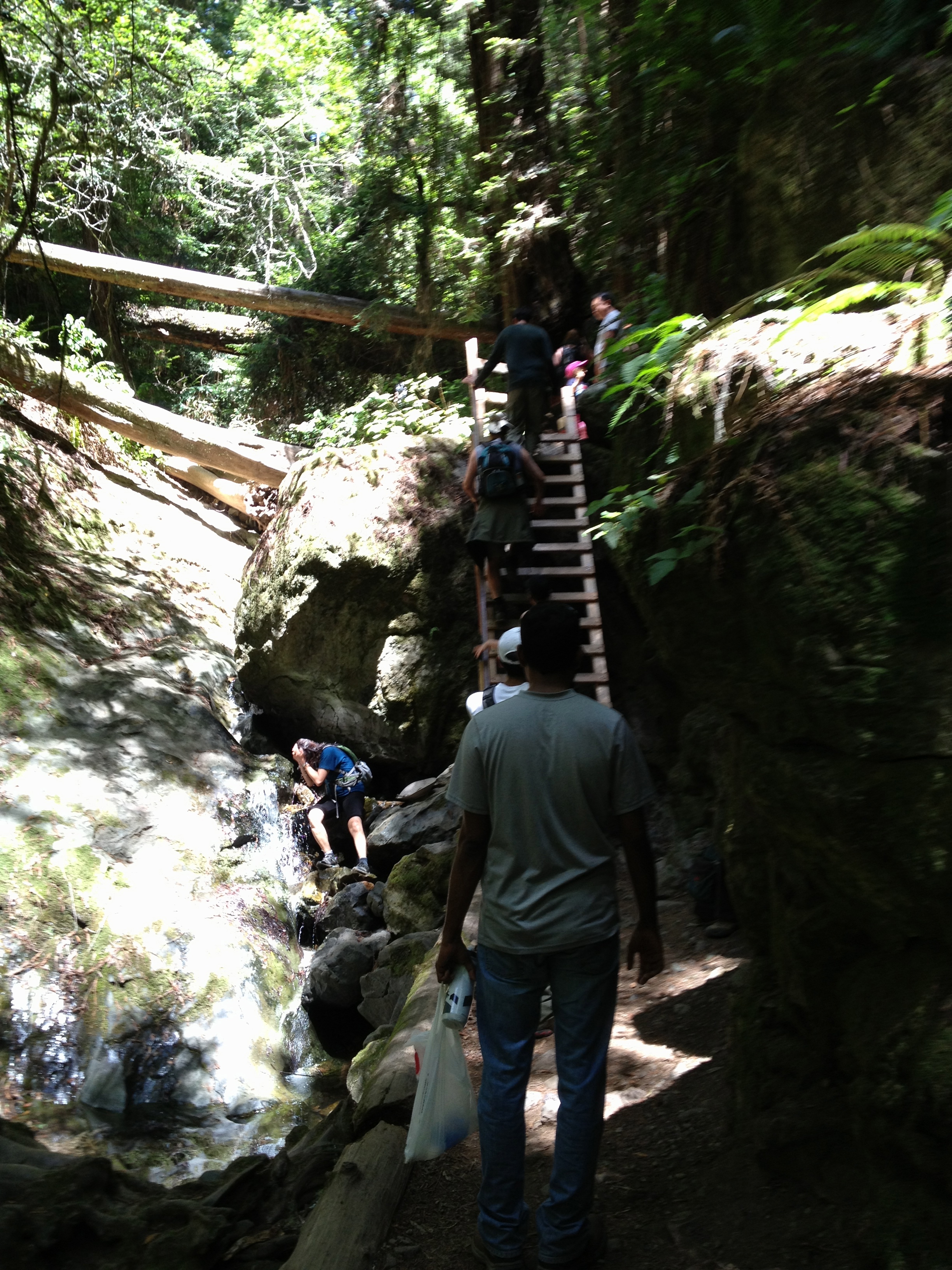
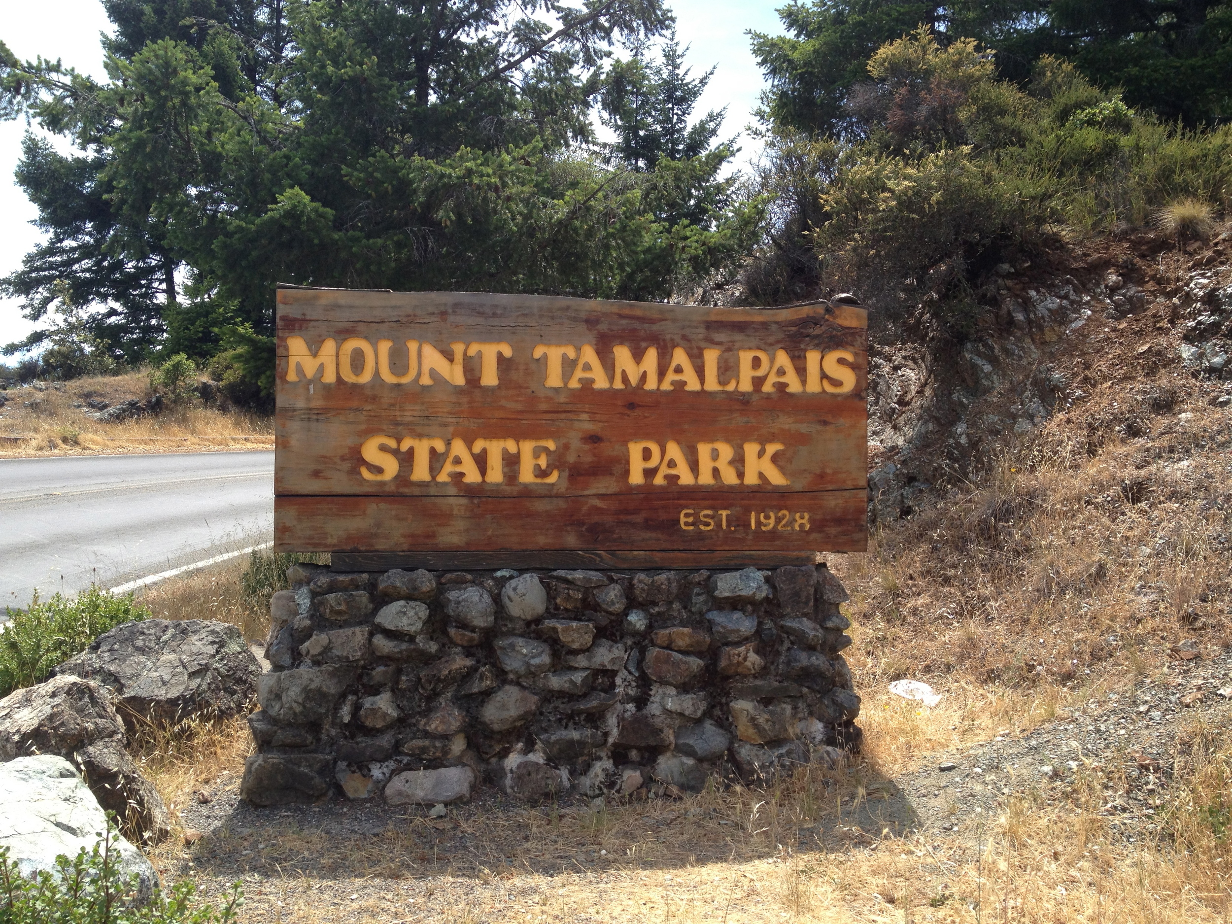
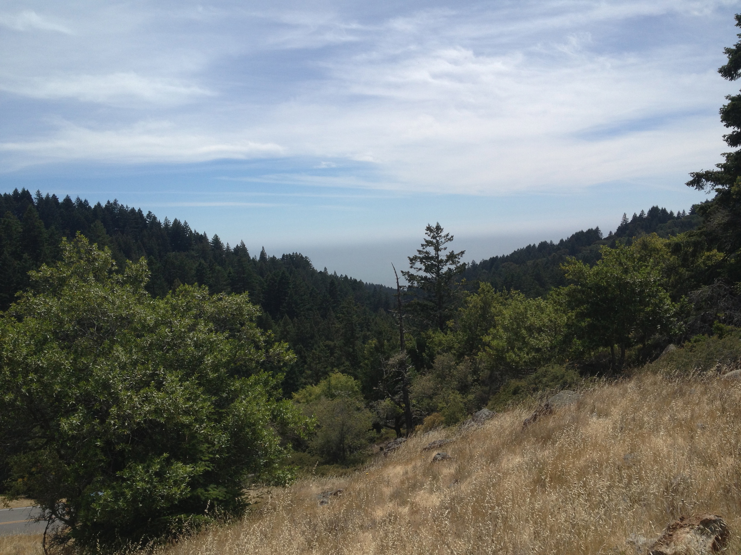
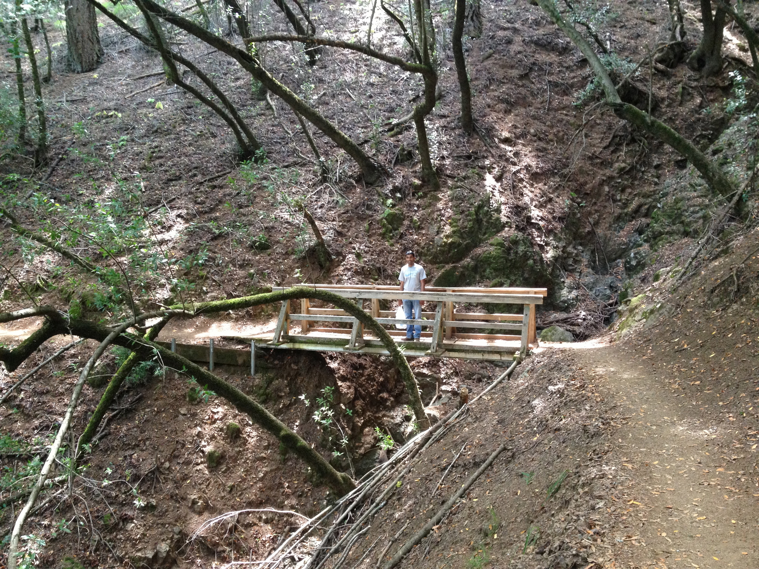
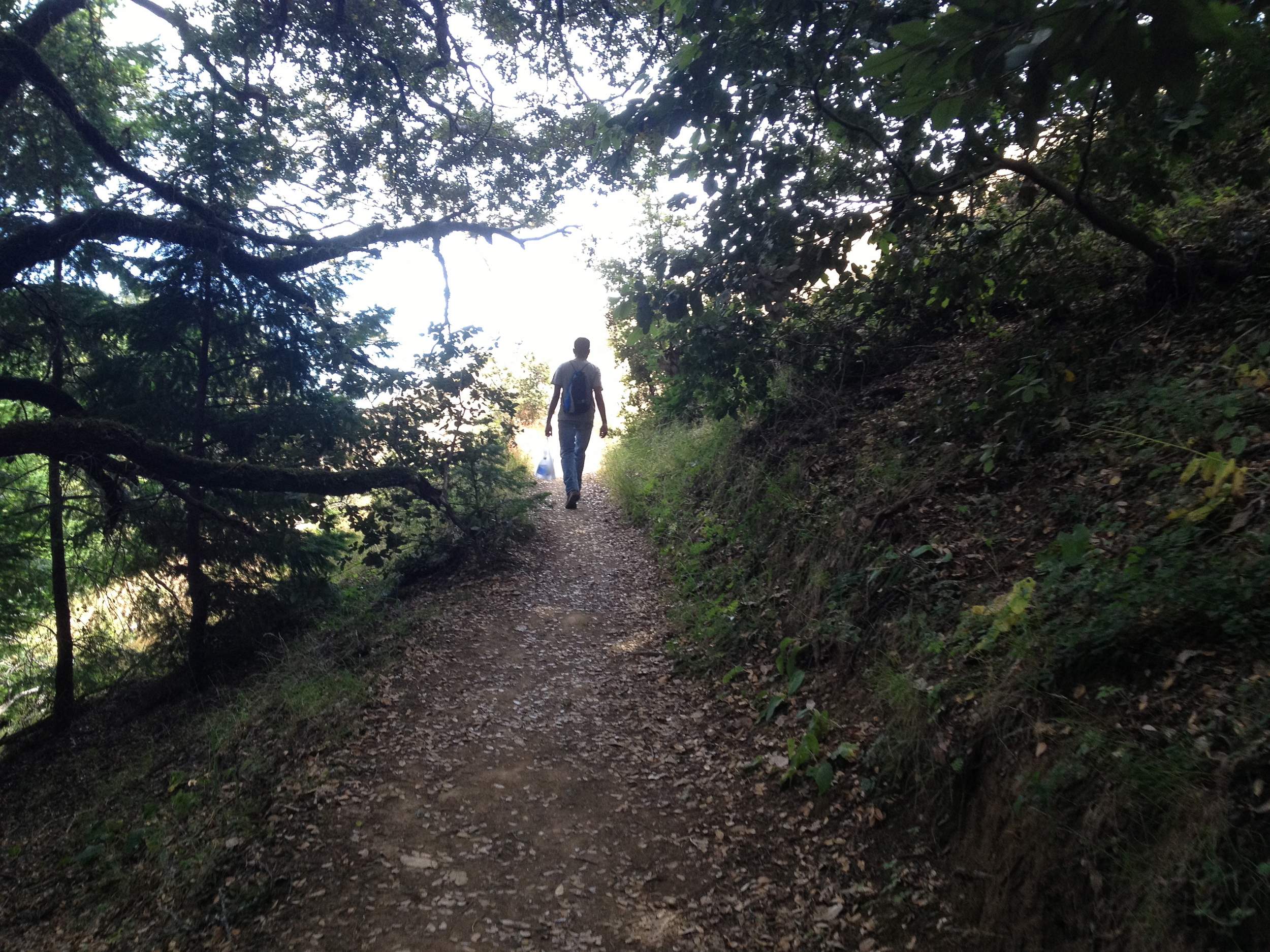
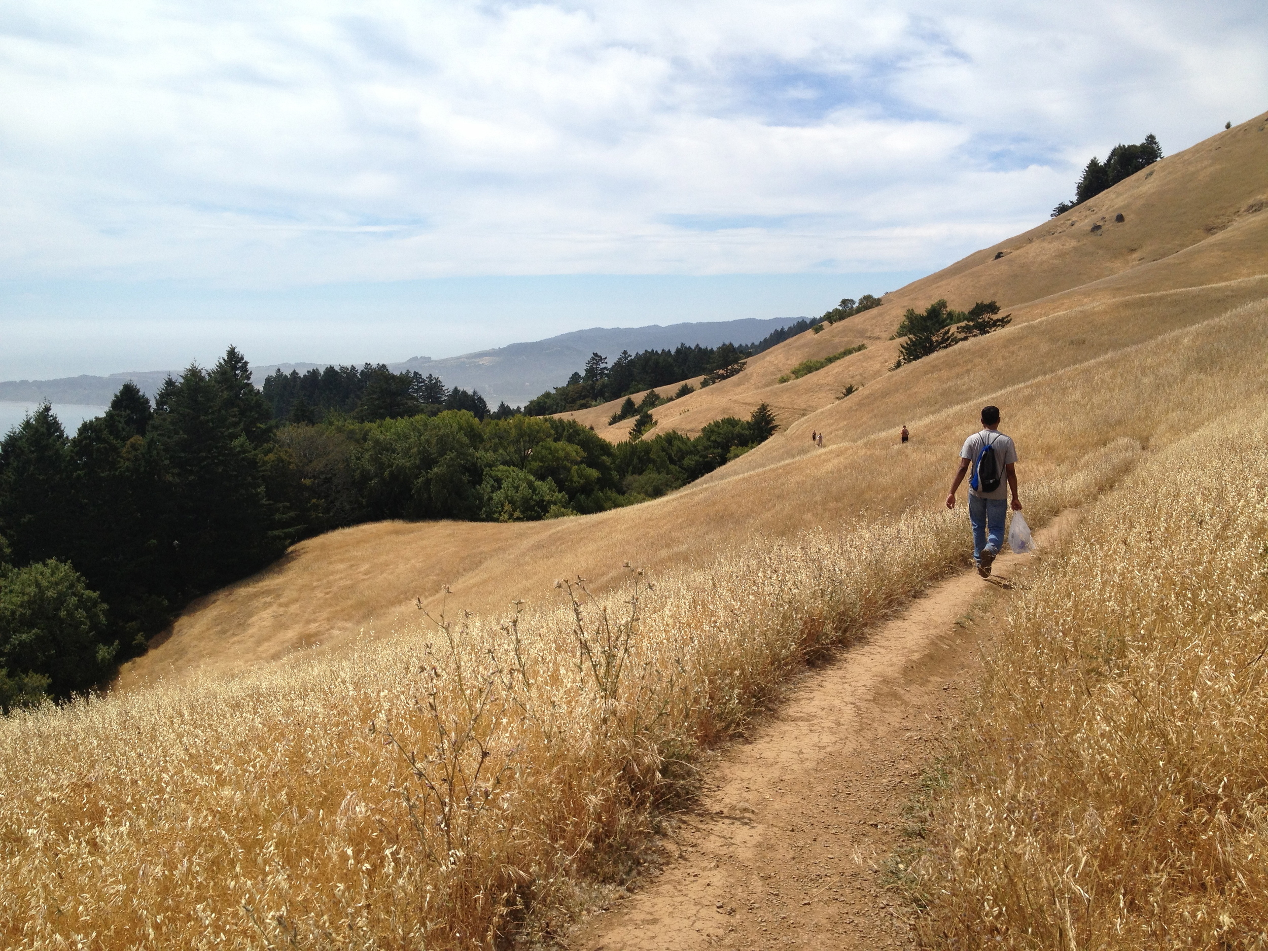
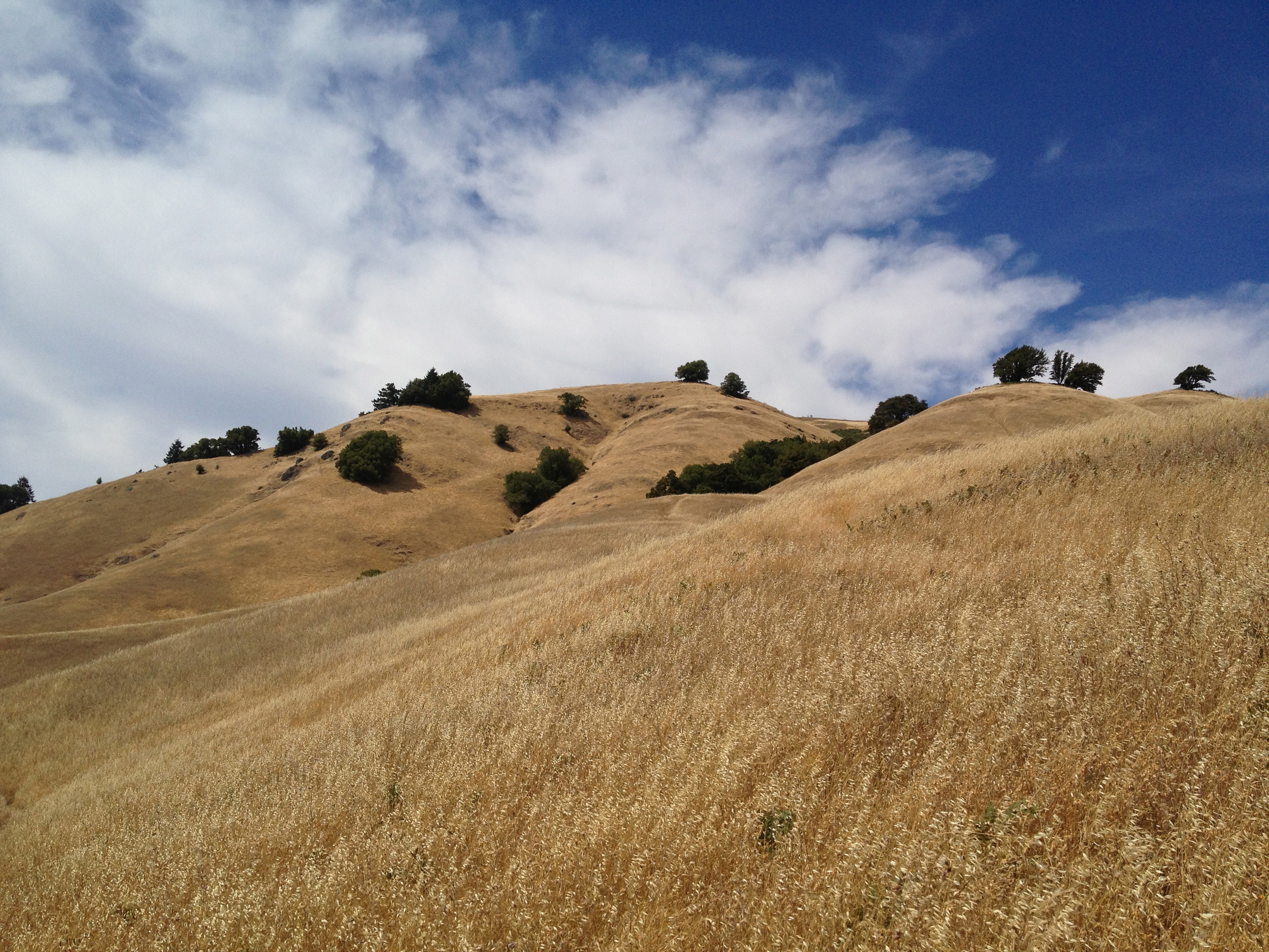
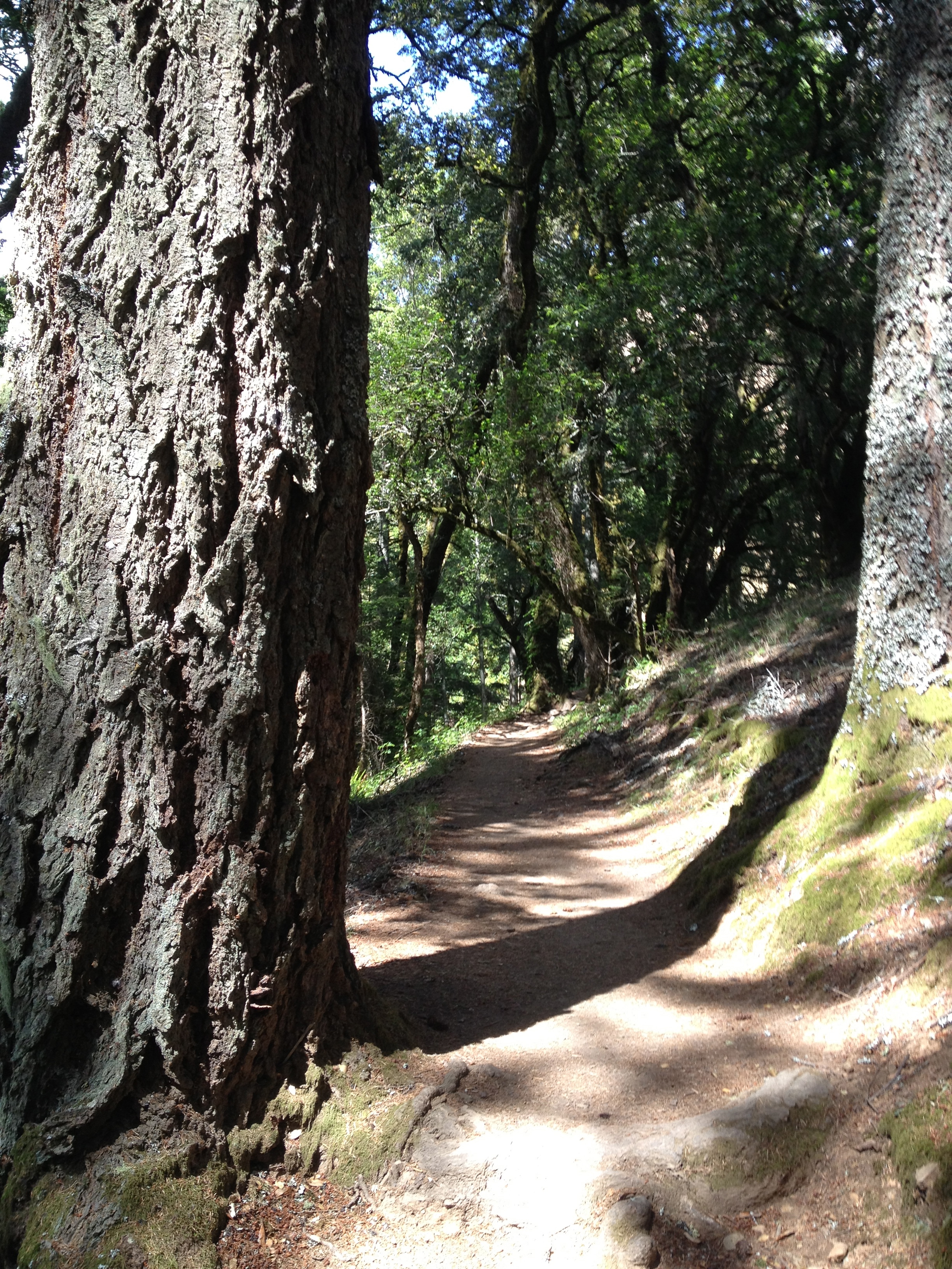
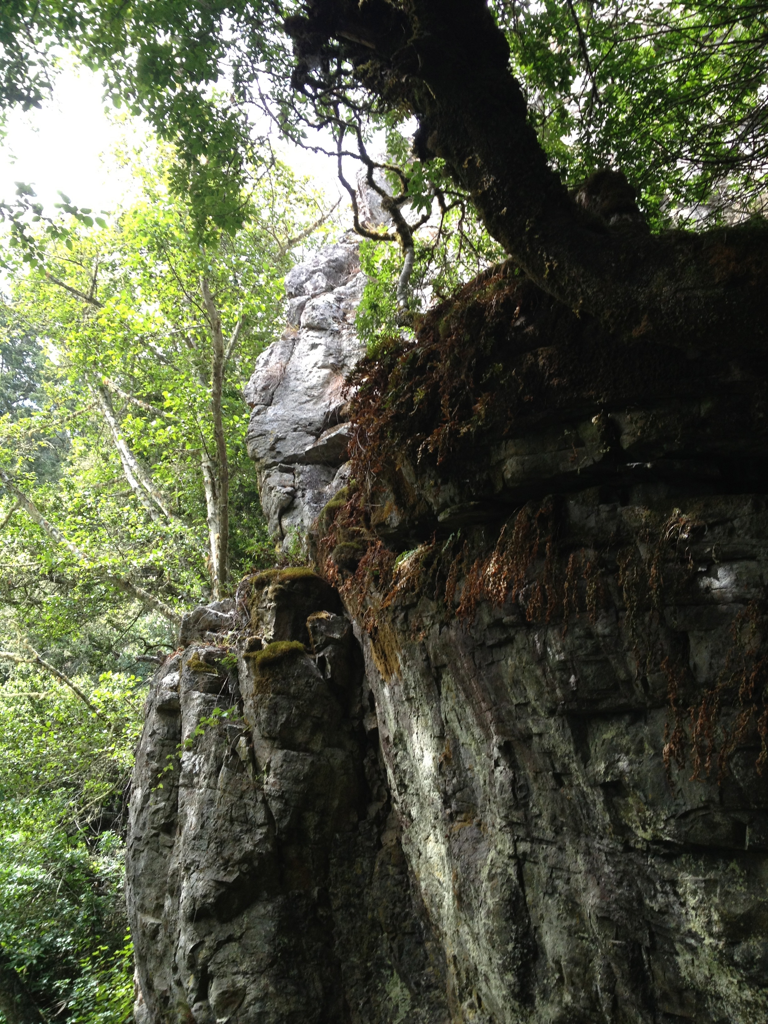
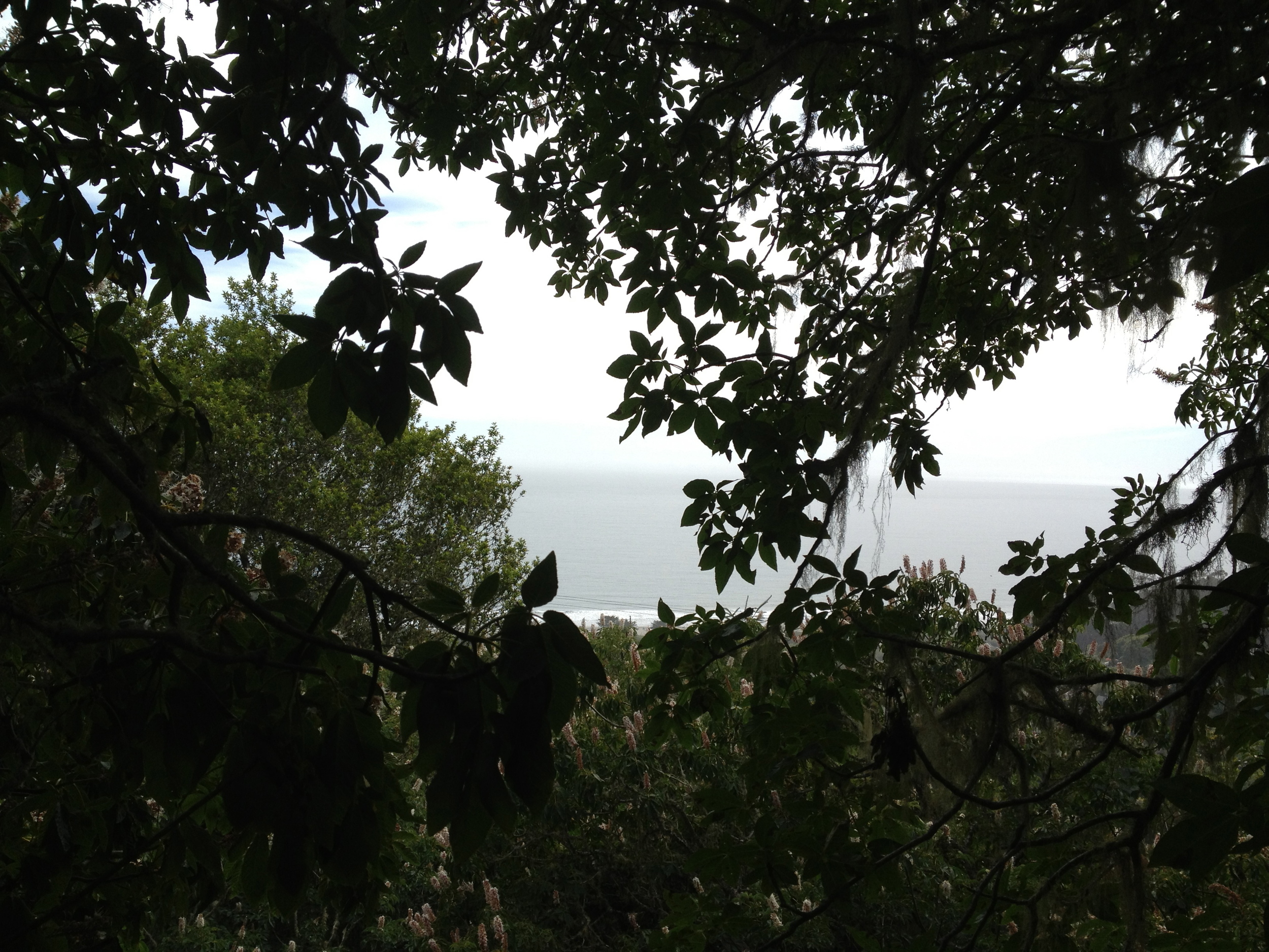
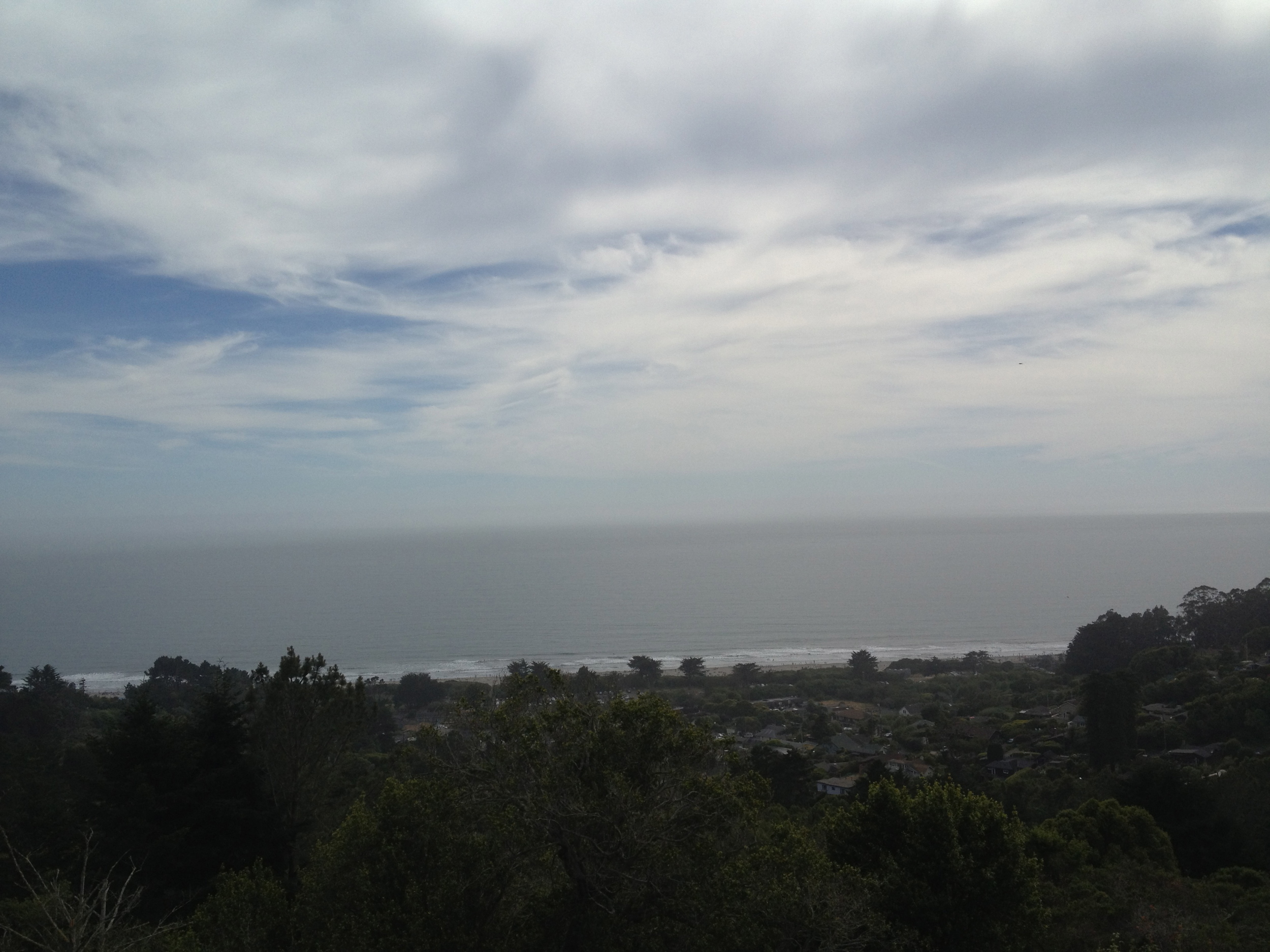
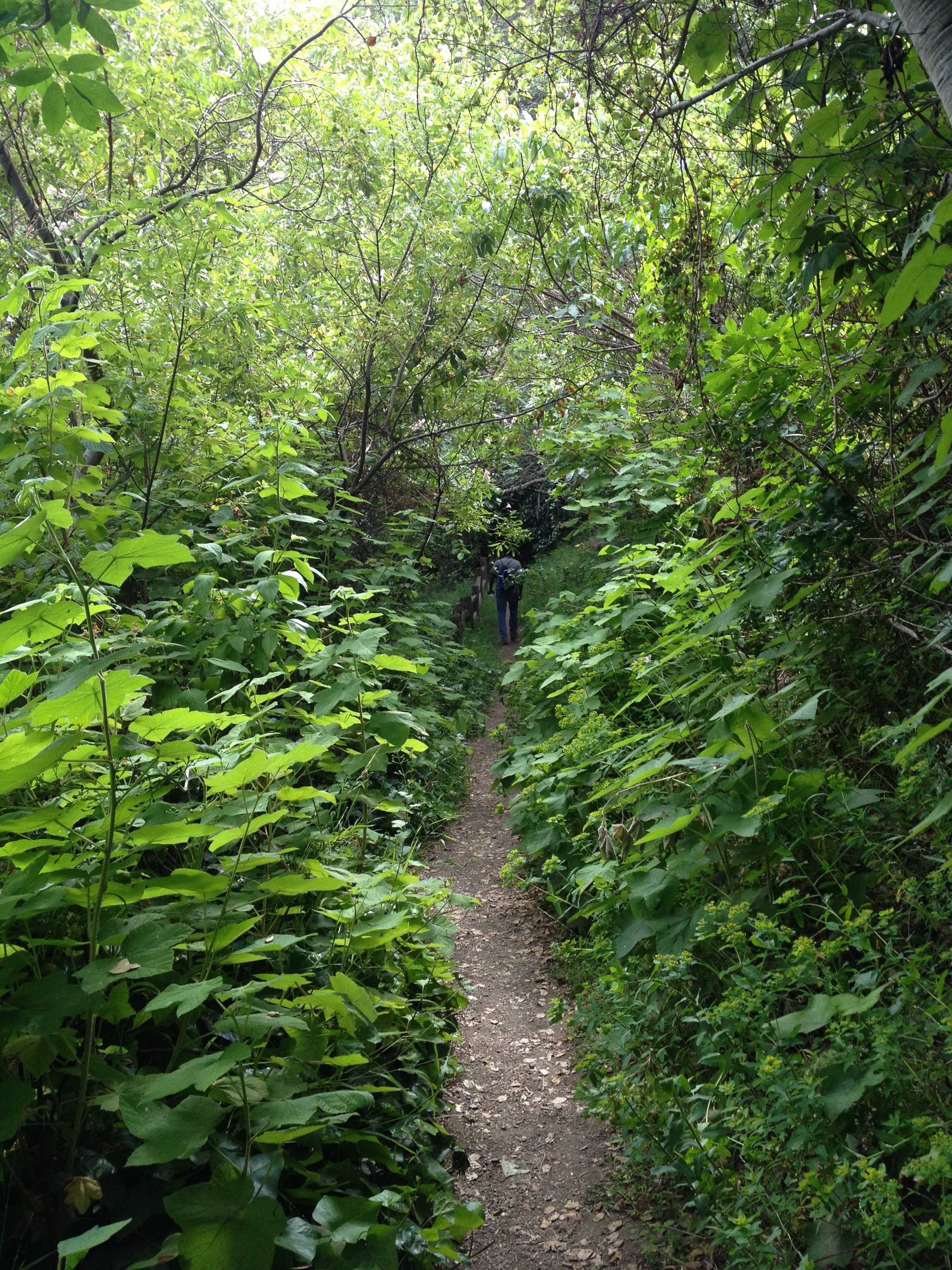

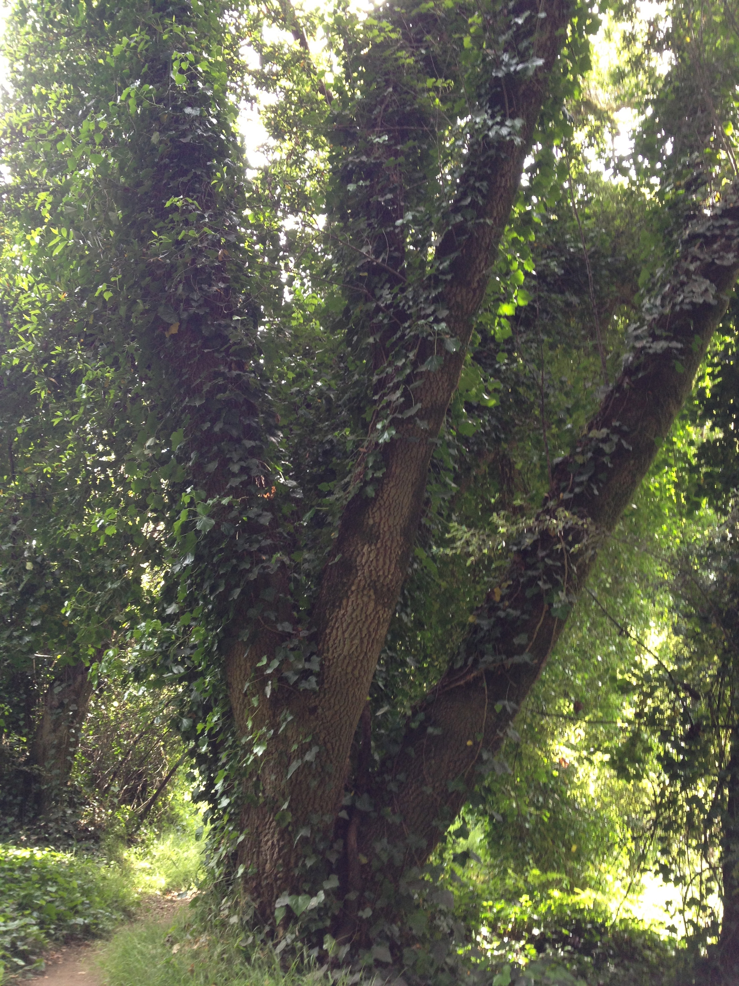
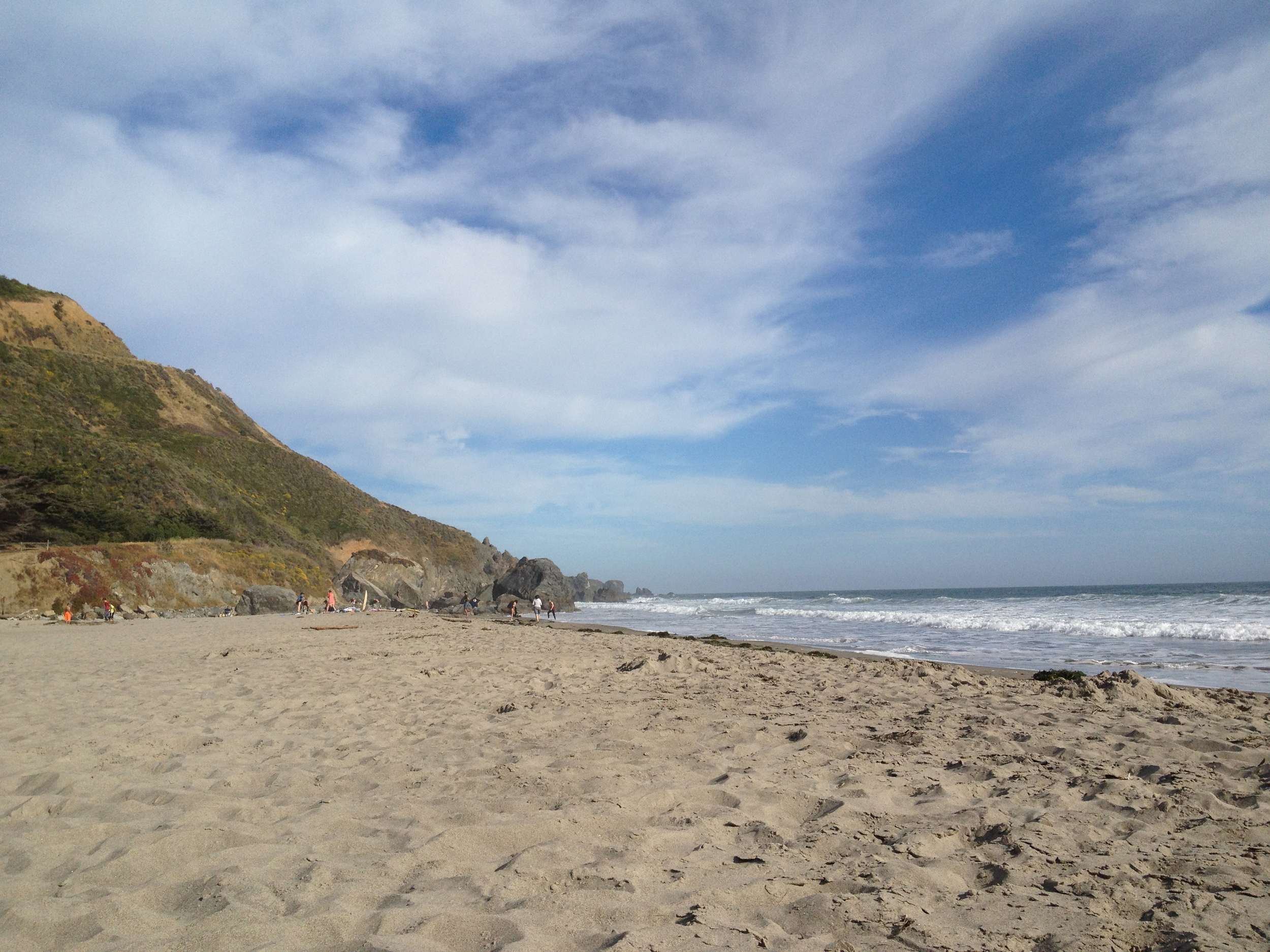
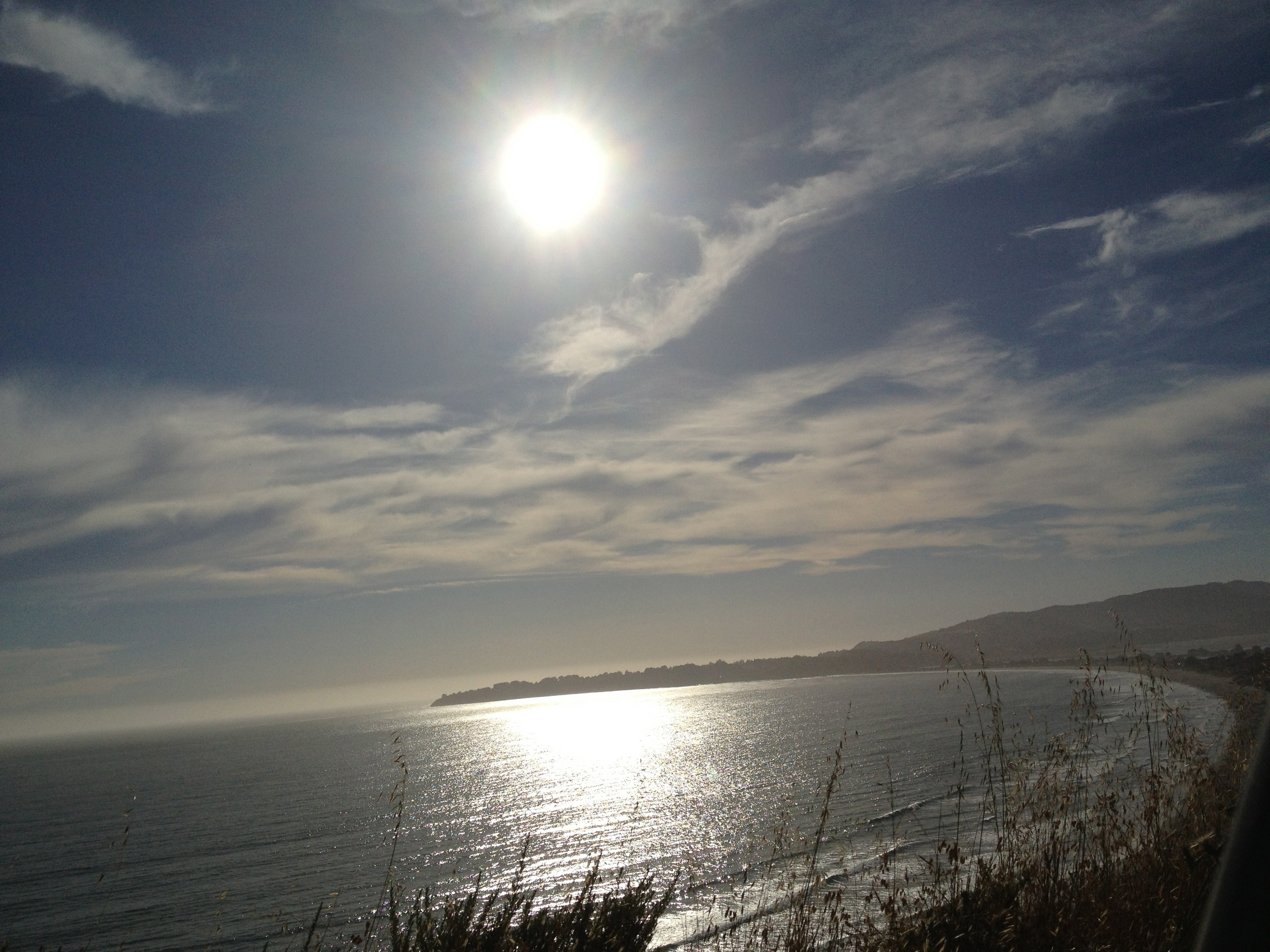
Mt. Tamalpais State Park is located north of Muir Woods and south of Point Reyes, directly east of Stinson Beach in Marin County. We arrived pretty late in the morning and the only parking available nearby was at the beach (which made for an awesome rest stop before the drive back). We started out on the Dipsea Trail up to the Steep Ravine Trail which included a short ladder to climb up on the steepest part of the trail. We brought our lunch and had a picnic up at the Pan Toll Ranger Station before we took the Matt Davis trail back to the ocean. While the way up provides shade, walking back down provided amazing views but we were exposed to the sun most of the way down. There are some great views of the ocean early on as well so be sure to look back for a great view. The total length for this hike is 6.5 miles with an elevation change of 1700ft.
